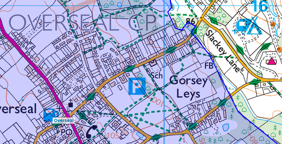
The New Road, noted by Ratledge at Bath Lane and Slackley Lane, Moira “drops down to cross a stream at Gorsey Leys” [Q – is this actually the bed of the disused Ashby Canal?]. The parish (and County) boundary shows a distinct kink:
https://maps.nls.uk/view/101592060
Surveyed 1881-82
On modern mapping – note the odd enclosure around scrubland at datum point +86m:
Overseal parish is highlighted in blue.
