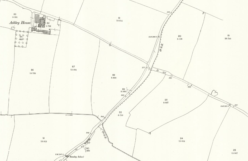
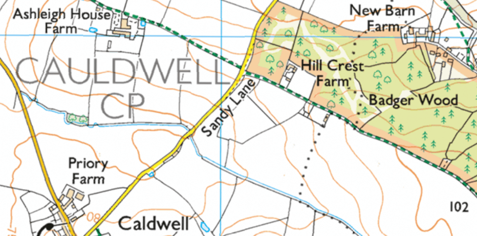
The parish boundary shows a distinct kink where it crosses the New Road; but this is after a redrawing of the original parish boundary. The parish boundary now runs north across fields and takes a sharp east turn as it reaches the New Road at the southern edge of Badger Wood before resuming a northerly course past Hill Crest Farm; however, the parish boundary used to run north along Sandy Lane, showing no kink where it crosses the New Road.
The parish boundary appears to have been redrawn between 1900 and current OS mapping. Anomalies identifiable on current mapping may or may not have deep historic links (although they can be checked by reference to old mapping); using only current mapping may, therefore, miss such anomalies.
Modern mapping:
25 inch Derbyshire LX.9 Revised: 1900, Published: 1901
https://maps.nls.uk/view/114591383